GuideSIGN Markings 2024.8.2
The following sections describe the functions used to create and edit road marking lines and symbols.
Normally, these would be drawn as new lines or blocks in the drawing, but as an alternative some commands enable markings to be created from existing lines or markings already within the drawing.
Essentially, the functions described are those found in the first GuideSIGN Markings menu tab. The second menu tab called ‘GuideSIGN Markings Tools’ contains functions to help make a more complete drawing which aren’t necessarily road markings. It also contains items for editing and various settings.
The optional drop-down menus and toolbars can be turned on and off in AutoCAD, and contain the same functions and commands split into similar sections. In Microstation the icons shown in the task menus can be toggled on and off as separate toolbars.
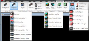
In AutoCAD, the commands will normally be selected from the GuideSIGN Markings Ribbon menu tabs. Toolbars are also supported for legacy reasons.
 and
and 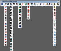
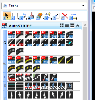
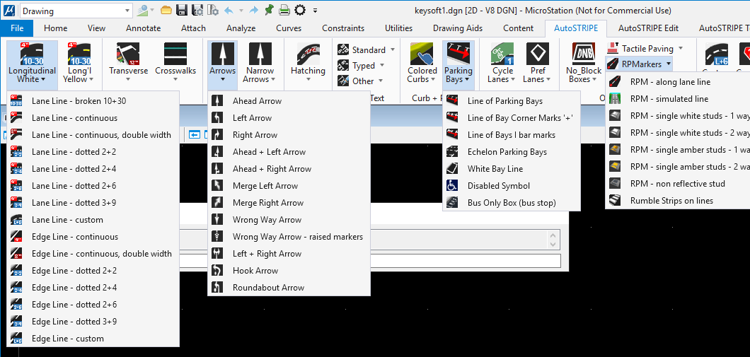
In Microstation V8i, the AutoSTRIPE commands will normally be selected from the task area or optional from the text drop-down menus.
 and
and 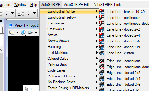
In Microstation Connect, the GuideSIGN Markings commands will normally be selected from the ribbon menus.
The principle function of GuideSIGN Markings is to draw all the road markings identified in the various Road Rules, Regulations and Manuals (MUTCD). Accordingly, there are many available choices, either from the drop-down menus or toolbars.
There are 4 distinct types of road markings:
plus: